

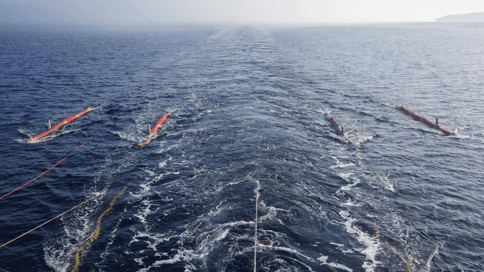
2D seismic surveys using towed streamers and common-depth-point method are the expedition's core activity. For 2D seismic surveys, MAGE utilizes its own seismic fleet and equipment, ensuring high resolution and accuracy of acquired data.
The total volume of 2D surveys completed since 1972 exceeds 750,000 km.
The total volume of 3D surveys exceeds 40,000 square kilometers.
Geophysical Equipment
SEAL 428 (SERCEL) Data Acquisition System
Sercel Sentinel Solid Streamer Towed Streamer
Maximum streamer length: 12,000 m
Orca 2D Concept Systems Navigation System
Simrad EA600 Echosounder / Multibeam Echosounder / SeaBat 7160 SeaBat 7125-SV2
BOLT 1500LL, 1900 LLX, ION Sleeve Gun I, II Airguns
Altair-M, Promax 2D Seismic Data Processing and Quality Control Systems