

JSC MAGE specialists provide a wide range of services in the field of geological mapping:
• GIS project management based on the results of engineering surveys and seismic exploration;
• processing of engineering survey results (compilation of map sets, database maintenance, automation of spatial data processing processes);
• construction of geological/engineering-geological cross-sections.
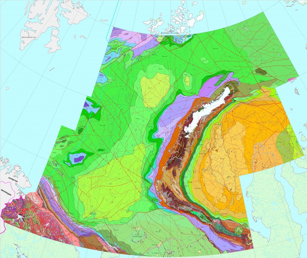
In 2024, specialists from the Cartography and GIS Department began the development of an online map of JSC MAGE's exploration coverage (map.mage.ru) based on the Russian mapping platform FlexGIS. Currently, this resource:
• displays the location of all work sites and profiles completed by JSC MAGE from 1972 to the present;
• visualizes the contents of the field archive and reporting materials;
• contains a wide range of tools for working with the map;
• includes functionality for working with JSC MAGE vessels online.
JSC MAGE, using its developed mapping platform, provides the opportunity to create custom GIS projects on a commercial basis, with the ability to use data from JSC MAGE.
• GIS project management based on the results of engineering surveys and seismic exploration;
• processing of engineering survey results (compilation of map sets, database maintenance, automation of spatial data processing processes);
• construction of geological/engineering-geological cross-sections.
In 2024, specialists from the Cartography and GIS Department began the development of an online map of JSC MAGE's exploration coverage (map.mage.ru) based on the Russian mapping platform FlexGIS. Currently, this resource:
• displays the location of all work sites and profiles completed by JSC MAGE from 1972 to the present;
• visualizes the contents of the field archive and reporting materials;
• contains a wide range of tools for working with the map;
• includes functionality for working with JSC MAGE vessels online.
JSC MAGE, using its developed mapping platform, provides the opportunity to create custom GIS projects on a commercial basis, with the ability to use data from JSC MAGE.